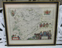
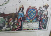
17th CENTURY RUTLANDIA COMITATUS HAND-COLOURED MAP OF RUTLAND SHIREApril 5, 2019


 VICTORIAN PARIAN BAC...£135.00
- SAMUEL ALCOCK PORCEL...£285.00

17th CENTURY RUTLANDIA COMITATUS HAND-COLOURED MAP OF RUTLAND SHIRE
£285.00
SKU: 1150
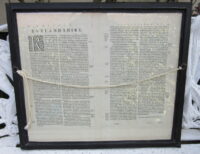
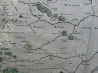
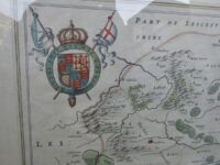
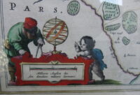
This interesting hand-coloured Rutlandia Comitatus Map of Rutland Shire England dates from circa 1650.
It is well detailed and the frame is glazed both sides so the Latin script on the back can be seen.
Dimensions of Frame:
Height: 20.25 inches (52 cm)
Width: 23.5 inches (60 cm)
- Description
This interesting hand-coloured Rutlandia Comitatus Map of Rutland Shire England dates from circa 1650.
It is well detailed and the frame is glazed both sides so the Latin script on the back can be seen.
Dimensions of Frame:
Height: 20.25 inches (52 cm)
Width: 23.5 inches (60 cm)
Related Antiques
-
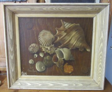
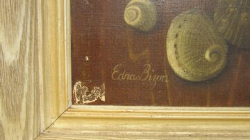
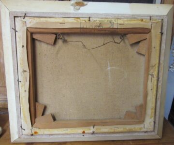
EDNA BIZON (b1929) SHELL STILL LIFE OIL PAINTING
£480.00EDNA BIZON (b1929) SHELL STILL LIFE OIL PAINTINGApril 12, 2021 -
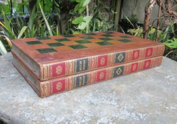
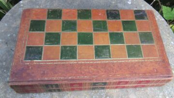
VICTORIAN LEATHER FAUX BOOKS GAMES BOARD
£265.00VICTORIAN LEATHER FAUX BOOKS GAMES BOARDNovember 1, 2021 -
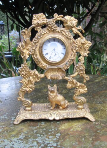
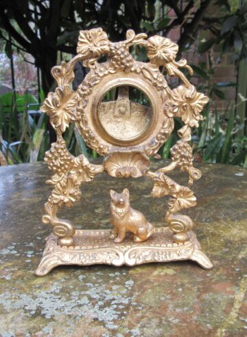
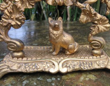
ANTIQUE GILT METAL POCKET WATCH STAND c1870
£265.00ANTIQUE GILT METAL POCKET WATCH STAND c1870December 18, 2021 -
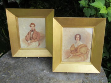
PAIR HULTON FAMILY BEVOIS MOUNT SOUTHAMPTON PORTRAITS
£385.00PAIR HULTON FAMILY BEVOIS MOUNT SOUTHAMPTON PORTRAITSAugust 14, 2019