17th CENTURY RUTLANDIA COMITATUS HAND-COLOURED MAP OF RUTLAND SHIREApril 5, 2019
17th CENTURY RUTLANDIA COMITATUS HAND-COLOURED MAP OF RUTLAND SHIRE
£285.00
SKU: 1150
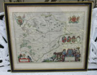
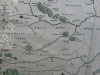
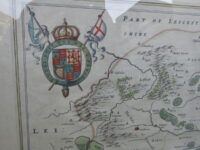
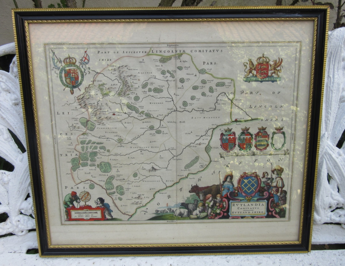
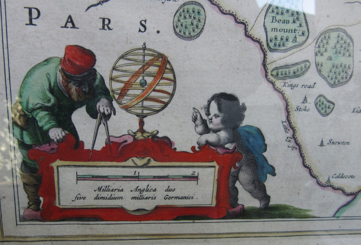
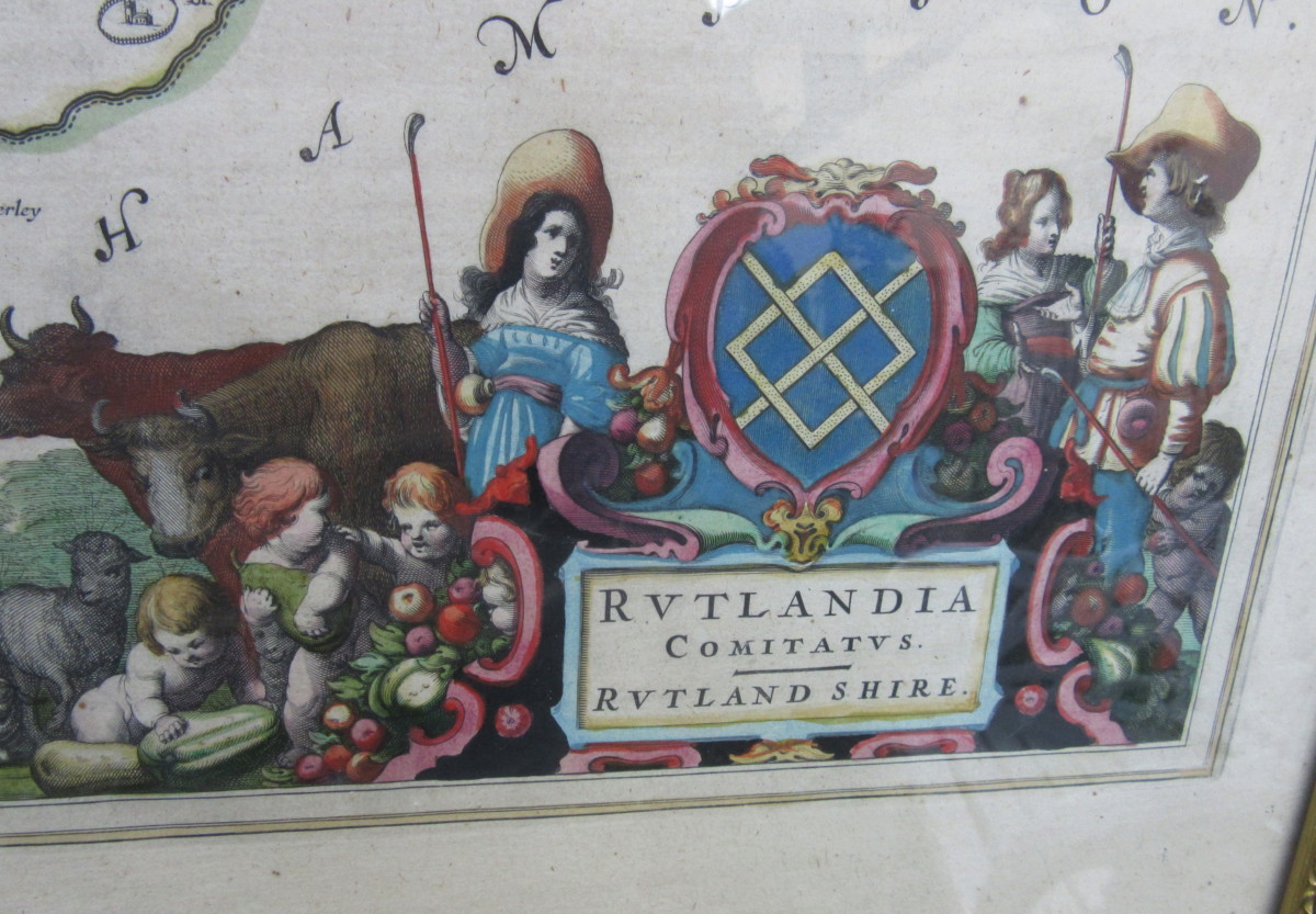
This interesting hand-coloured Rutlandia Comitatus Map of Rutland Shire England dates from circa 1650.
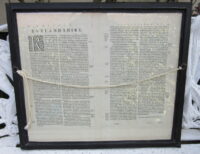
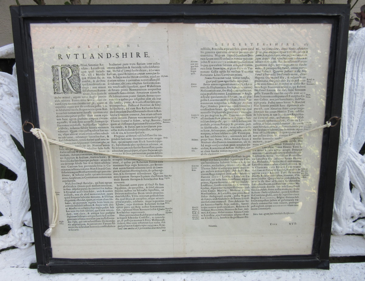
It is well detailed and the frame is glazed both sides so the Latin script on the back can be seen.
Dimensions of Frame:
Height: 20.25 inches (52 cm)
Width: 23.5 inches (60 cm)
- Description
This interesting hand-coloured Rutlandia Comitatus Map of Rutland Shire England dates from circa 1650.
It is well detailed and the frame is glazed both sides so the Latin script on the back can be seen.
Dimensions of Frame:
Height: 20.25 inches (52 cm)
Width: 23.5 inches (60 cm)
